MrMrdevincamus
Voice Of The Martyrs Supporter
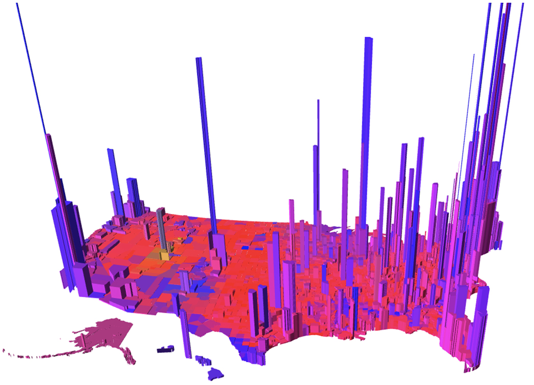
OOPS I FORGOT TO POST THE MAP! IT IS AT BOTTOM OF PAGE...(I HOPE!)
This thread's first paragraph is written tongue in cheek and is meant mostly as entertainment. Even considering the intent of the thread (levity) there is a more serious second part, of course its the last paragraph.
Do Ya'all' feel this map (below if it pasted correctly) is an accurate representation of how our nations diversity of people and culture break down? My work has posted me all over the USA, so drawing on that limited resource I will say the map is fairly accurate except for a few minor details that I would change. For example there is a 'too big and culturally incorrect' Greater Appalachia area. By culturally incorrect I mean Appalachia just another word for 'hillbilly', and hillbillies can not be found in on the map called Greater Appalachia. I am proposing a strip of land be demarcated where real hillbillies still live, we could call it ; 'ultra seal team 6 hillbilly lands'. The Hillbilly 6 area should be running north to south along the spine of the Appalachia mountains no more than 40kkm wide, starting in VA and ending in NC! The map denotes EL Notre as a space for our Mexican brothers and sisters, an 'Nu French' area for our coonass* friends, even a 'Yankeedom' chunk of the Northern USA assigned to the well, Yankees.
Anyway seriously the map really is fairly good at showing approximations related to culture etc.
The map could be looked at to be a statement that demonstrates our USA is broken down into distinct areas where human social activity, structures, and function may differ enough to draw a border. That could be a good thing or a bad thing! I feel if we are different enough to draw borders we must be careful not to allow pride in our culture lead to ethnocentrism. I believe we can have both pride in tradition and love others even though they may be radically different. Anyway comment on the serious side of this issue or the funny part if you want, for example is 'your' area represented accurately, or is it way off ?

; {>
This thread's first paragraph is written tongue in cheek and is meant mostly as entertainment. Even considering the intent of the thread (levity) there is a more serious second part, of course its the last paragraph.
Do Ya'all' feel this map (below if it pasted correctly) is an accurate representation of how our nations diversity of people and culture break down? My work has posted me all over the USA, so drawing on that limited resource I will say the map is fairly accurate except for a few minor details that I would change. For example there is a 'too big and culturally incorrect' Greater Appalachia area. By culturally incorrect I mean Appalachia just another word for 'hillbilly', and hillbillies can not be found in on the map called Greater Appalachia. I am proposing a strip of land be demarcated where real hillbillies still live, we could call it ; 'ultra seal team 6 hillbilly lands'. The Hillbilly 6 area should be running north to south along the spine of the Appalachia mountains no more than 40kkm wide, starting in VA and ending in NC! The map denotes EL Notre as a space for our Mexican brothers and sisters, an 'Nu French' area for our coonass* friends, even a 'Yankeedom' chunk of the Northern USA assigned to the well, Yankees.
Anyway seriously the map really is fairly good at showing approximations related to culture etc.
The map could be looked at to be a statement that demonstrates our USA is broken down into distinct areas where human social activity, structures, and function may differ enough to draw a border. That could be a good thing or a bad thing! I feel if we are different enough to draw borders we must be careful not to allow pride in our culture lead to ethnocentrism. I believe we can have both pride in tradition and love others even though they may be radically different. Anyway comment on the serious side of this issue or the funny part if you want, for example is 'your' area represented accurately, or is it way off ?
; {>
Last edited: